Webinar: Designing with Drone Imagery
Elevating Designs with Accurate Reference Imagery
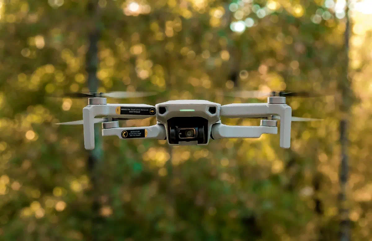
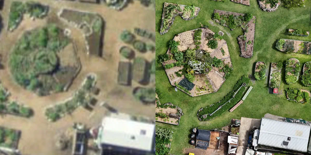
Accurate baseline data is the foundation of any great project. While publicly available aerial imagery is a helpful starting point, it may be outdated or low-quality. Drone mapping allows us to capture up-to-date, high-resolution imagery of your site exactly when we need it. We will explore how to capture these images using an automated flight plan, stitch them into a seamless map, and use the final orthophoto as a precise reference for our design.
Sat 25-July-2026
9:00 AM, Sydney Time (AEST)
Online
What to Expect from the Webinar
Understanding Orthophoto Mapping
Discover the core benefits of using drone-generated orthophotos for digital design, and learn how high-resolution aerial mapping provides superior accuracy. We will explore use cases where drone imagery can improve your design work.
Automating Flight Plans and Image Capture
Learn how to build an automated flight plan designed specifically for high-quality image capture, ensuring your photos are positioned correctly to stitch together perfectly. We will showcase both manual capture and the use of third-party tools.
Uploading, Scaling, and Adjusting Imagery
Watch a live tutorial on processing raw aerial data using free third-party tools. You will learn how to stitch the imagery, remove distortion, and scale everything accurately, making it ready to use in Permiehub for your design.
Built for the Community
We are dedicated to creating a tool that meets the needs of those working to manage land sustainably. We highly value your experience and insights. Your input is invaluable, and it drives us to build Permiehub collaboratively with the community.
Webinar's Agenda
- Introductions
- Presentation
- Live Demo
- Q&A Session
Register for the Webinar
Ready to sign up and upskill in drone imagery? Register for our free webinar below.
- Sat 25-July-2026
- 9:00 AM, Sydney Time (AEST)
- Online
Sorry, you missed out!
This event has already happened.