Permiehub for Designers of Permaculture Gardens and Homesteads


Permiehub: Propelling Permaculture Projects for Passionate People
We built Permiehub with a passion to support people passionate about their green spaces and their communities in their permaculture journey. Why? Our experience attending a PDC at Limestone Permaculture inspired us to bring our vision to life. We realised we could best serve the community by developing a tool that streamlines the design process, sharing the joy of permaculture with others.
Facing Technical Barriers?
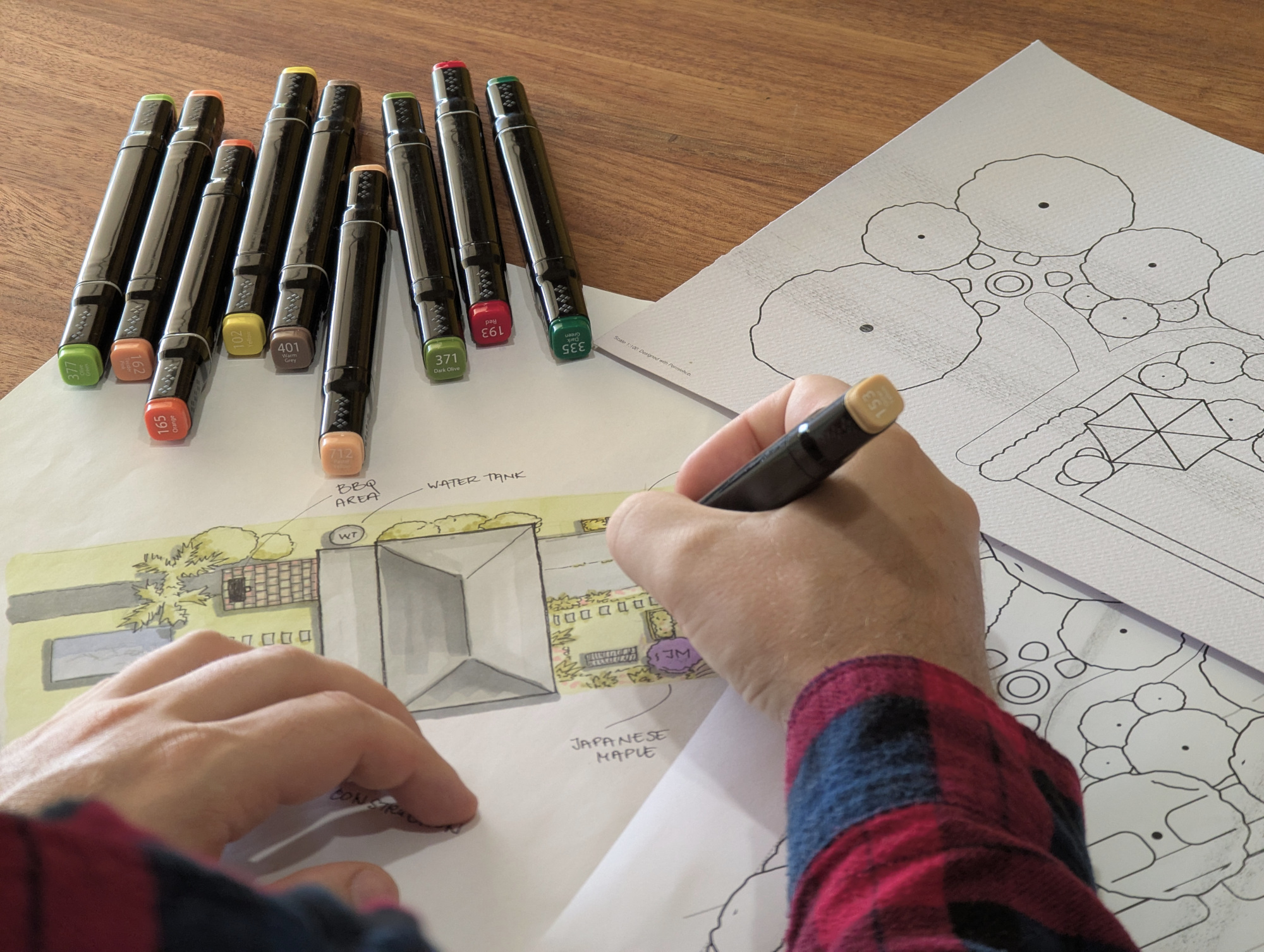
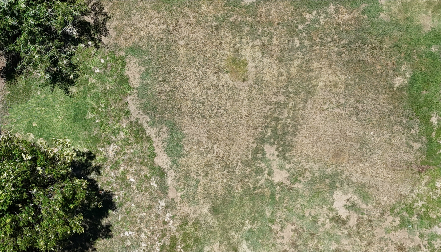
Need help transforming sketches and drone imagery into accurate digital plans?
Do your hand-drawn plans fail to fully represent the principles behind your design vision?
Struggling with complex, unintuitive design software with confusing features you do not need?
Design Admin Stealing Your Creative Time?
Does the initial mapping of your client's land feel complex and difficult to start?
Does data collection and admin work consume your time, hindering your creative process?
Are you having trouble capturing the intricate details of your designs in a concise format?
Cumbersome Communication Channels?
Tired of inefficient client communication and design revisions?
Is it a challenge to activate and engage your clients in the process?
Can you reliably adapt your design to your client's evolving requirements?
Boost Efficiency, Enhance Collaboration
Craft Your Vision with Intuitive Tools
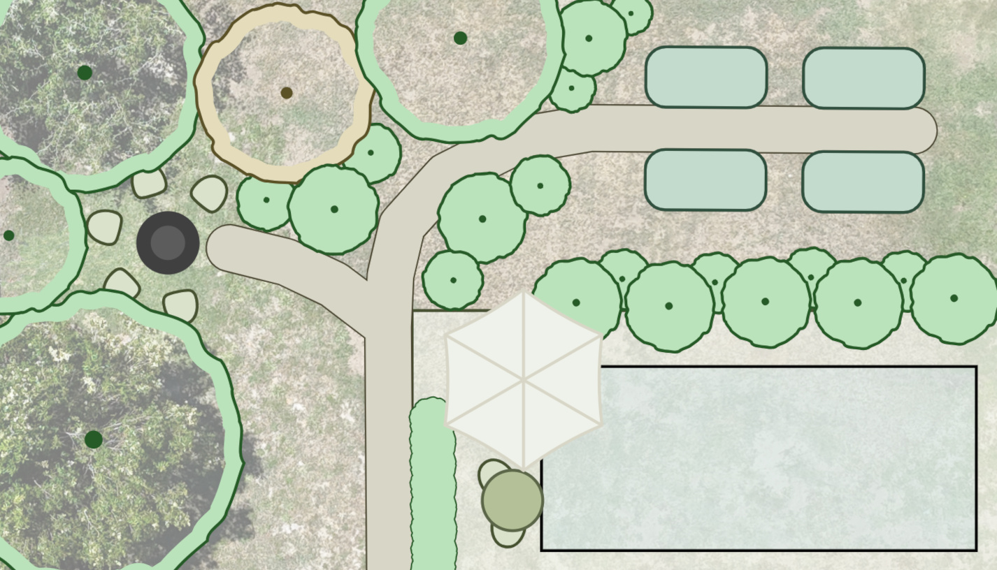
Effortlessly transform sketches and drone imagery into accurate digital plans
Create digital plans that clearly display the design principles and the vision for the site
Utilise intuitive, purpose-built software, free from unnecessary complexity
Unlock More Time with Boosted Efficiency
Where available, access readily available property and terrain data for efficient client land mapping*
Reclaim your creative time by simplifying data collection and admin tasks
Capture intricate design details in a concise format for clear communication
*Subject to data availabilityDrive Efficient Client Interaction
Streamline client communication and design feedback for maximum efficiency
Effortlessly activate and engage your clients throughout the design process
Confidently adapt your design to your client's evolving requirements with ease
Benefits in Base Map
- Load NSW aerial imagery, property boundaries, contour lines, and water lines within seconds*
- Upload & auto-scale your drone imagery with a single measurement
- Stamp trees, size them instantly with dimension inputs
- Mark and annotate infrastructure lines with confidence
- Toggle aerial transparency for precise object tracking
- Use keyboard shortcuts to quickly show or hide your base map's reference image
Create Base Maps with Available NSW Site Data
- The Base Map Wizard in NSW, Australia, quickly retrieves available site data, providing an excellent foundation for your base map.
Print Scaled Base Maps
- Generate physical copies of your base map in any standard paper size, perfect for sketching and hand-drawn design.
Benefits in Site Analysis
- Engage your client in the process by noting down their land observations
- Display sun movement and sun rays direction at specific times of the year and day
- Mark out the direction and strength of prevailing winds with directional arrows
- Note down any wildlife corridors and movement around the property
- Choose from a library of site analysis symbols to mark important observations of the land
- Benefit from the easy recognition of site analysis markers provided by default colour-coding
Mark Land Features with Intuitive Icons
- Use a library of symbols and colours to quickly highlight interesting land features.
Visualise Sun Movement
- To design shelter from the summer sun and plan deciduous or seasonal plantings, move the sun tool around the property.
Benefits in Concept Design
- Record inputs and outputs between zones to define their relationships
- Document zones within the concept design with display names and descriptions for legend generation
- Colour-code zones within your concept design for quick visual recognition of their purpose
- Test and refine spatial relationships between elements by creating scaled concept design overlays
- Verify the accessibility and flow of your concept design by delineating communication pathways
- Optimise resource efficiency and minimise waste by visualising the inputs and outputs between areas within the concept design
Visualise Relationships Between Zones
- Mark and annotate your zones while considering inputs and outputs, to design relative distances and access.
Check Accessibility and Flow
- Confirm your concept design by visualising accessibility and flow between the areas.
Benefits in Detailed Design
- Develop consistent, detailed designs using a library of objects such as tables, umbrellas, swales, hedges, espaliers, and more
- Visualise trees and perennials displaying leaves or colours in different seasons
- Generate planting plan lists and work task lists using a legend with display names and descriptions
- Present the client with the monthly yield of their homestead perennial plantings
- Monitor the progress of works by updating their implemented status directly within the detailed design
- Instead of sending designs back and forth, visualise latest state of your design in moments
Detail Your Concept Design
- Sculpt concept design areas into objects ready to be built or planted.
Highlight Perennial Plantings
- Plan for yield, blossom bee forage, and shelter by adding details.
Benefits in Management, Implementation, and After Care
- Benefit from having a quick way to show dimensions of projects and objects within the detailed design
- Facilitate seamless handovers to contractors and maintenance teams by providing clear and detailed dimensional plans
- Capture the complexity of your design in a compact format for future consultations and works
- Create a lasting record and reference for your client, enabling them to print scaled plans at any time
- Ensure consistent maintenance and future adaptations by preserving the design's intricate details in a readily accessible format
- Permiehub overlays provide transparent design insights, empowering clients to manage their landscape confidently
How to Get Access to Permiehub?
1. Sign Up Using Your Gmail Account
To verify account access, Permiehub uses Gmail. Sign in to your preferred Gmail account and confirm Permiehub sign-in.
2. Enter Your Activation Code
Please enter the activation code provided to you following your attendance at a webinar when prompted for Permiehub early access.
3. Your Design Workspace is Ready
Congratulations! You can start creating your first free personal project. For commercial use with more projects, check out our plans.
Permiehub Learning: Webinars and Help Centre
Visit Help Centre
- Explore the Help Center to learn about basic controls, the design journey, and additional features.
Webinars for Designers
- We invite you to join our webinars for a live demo and overview of Permiehub, along with a Q&A session.
Next Live Webinar for Designers Starts Soon
Days
Hours
Minutes
Ways to Reach Us for Support and Share Your Feedback
Email Us for Support
We offer assistance with any questions you may have and appreciate your feedback. Should you have suggestions for improvement or encounter any issues, please do not hesitate to contact us.
Join Virtual Open Office Hours
Are you facing a roadblock in your project? Are you unsure which tool to use? Do you have a burning question that needs answers? If any of these resonate, then our virtual open office hours are designed precisely for you.
Give Feedback Directly in Permiehub
To share feedback while using Permiehub, use the message bubble located next to your profile image. The in-built form allows you to capture a screenshot with a click and highlight or hide parts of it.