News: Base Map Wizard Support in Australian Capital Territory
We have enabled Base Map Wizard support for the Australian Capital Territory using data provided by the Government to help you accurately design your garden spaces.
One of the ways we help designers speed up their project setup is through the Base Map Wizard - our intuitive tool that loads property boundaries, aerial imagery, contours, and watercourses into your project in just a few seconds.
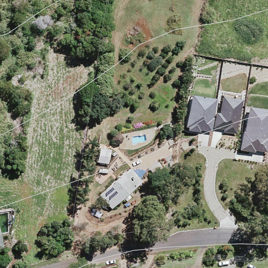
We have some great news for those designing in the Australian Capital Territory: the Base Map Wizard now supports the ACT. It will automatically load all your site data - including high-quality aerial imagery - providing the perfect reference for your next design.
To learn more about Base Map Wizard and how to create your Base Map in Permiehub, visit Base Map article in our Help Centre.
Ready to map your next ACT project? Log in and let the Wizard do the heavy lifting.
Aerial Imagery - © Australian Capital Territory and MetroMap (CC BY 4.0).
Contours & Water - © State of New South Wales (Spatial Services, a business unit of the Department of Customer Service NSW).