News: Base Map Wizard Support in New Zealand
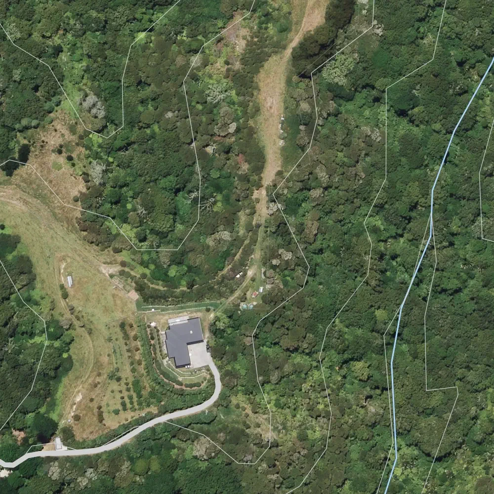
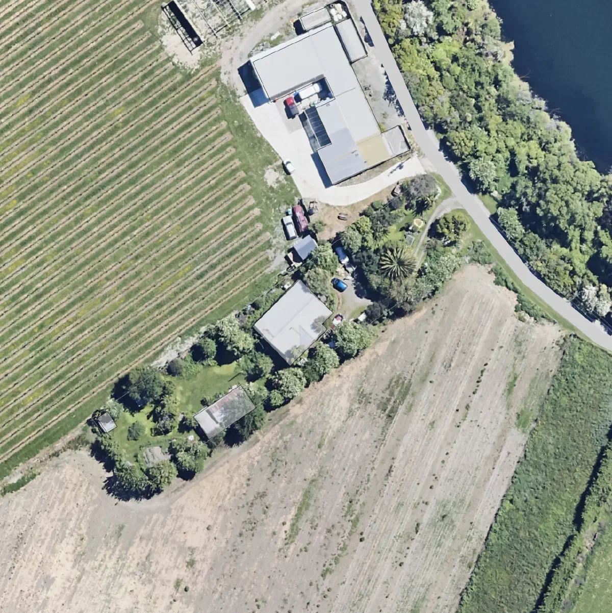
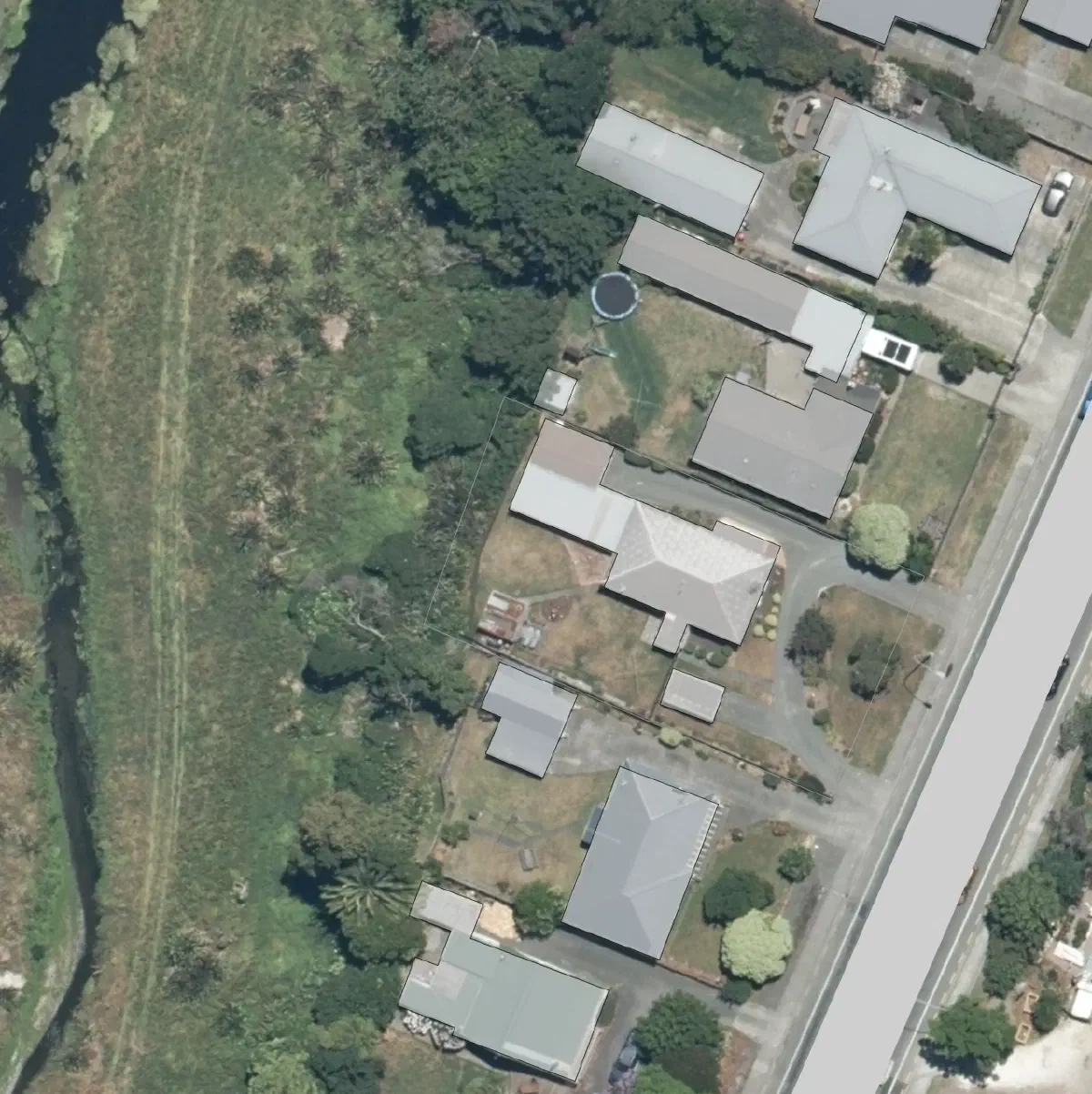
Base Map Wizard support is arriving for those designing in New Zealand. The Base Map Wizard now automatically loads property boundaries, building outlines, high-resolution aerial imagery, roads, and water features such as creeks, rivers, lakes, and dams. It also includes 20m contours and sun path data for the entire country.
Permiehub is helping land stewards and designers speed up their project setup through the Base Map Wizard, our intuitive tool that loads available property data into your project in just a few seconds.
Base Map Wizard support is now available throughout New Zealand. Here the tool delivers property boundaries, building outlines, and aerial imagery essential for designing suburban backyards, while imported 20m contours, water features, and roads could be especially useful for designers mapping out larger rural blocks. Base Map Wizard will also provide specific data for the Sun Path tool in your project to ensure you have the necessary information to get started quickly.
To learn more about the Base Map Wizard and how to create your base map, visit the Base Map article in our Help Centre.
Ready to map your next New Zealand project? Log in and let the Base Map Wizard do the heavy lifting.
Data sourced from the LINZ Data Service, CC BY 4.0. Aerial imagery from LINZ Aerial Imagery Coordination Programme. Data Service - NZ Imagery Survey Index