News: Aerial Imagery in France, Portugal, and Denmark
In addition to the worldwide topographic coverage in Base Map Wizard, we have added aerial imagery in France, Portugal, and Denmark.
Permiehub is helping land stewards and designers speed up their project setup through the Base Map Wizard - our intuitive tool that loads available property data into your project.
We are excited to announce that we have expanded our data coverage once again. Joining our existing high-resolution aerial imagery for the USA, Australia, New Zealand, Spain, Switzerland, and the Czech Republic, users can now access regional aerial imagery across France, Portugal, and Denmark.
To learn more about the Base Map Wizard and how to create your next base map, visit the Base Map article in our Help Centre.
Do you need to create a scaled base map for your next permaculture or ecological design project? Log in and use Permiehub’s Base Map Wizard to draw a base map for your property in seconds, complete with contour maps, water bodies, and building outlines.
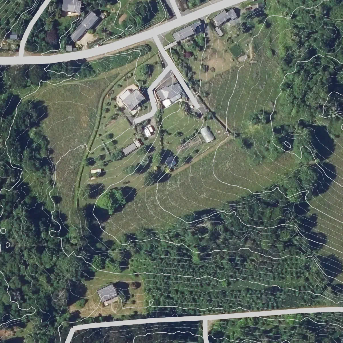
France: Aerial Imagery from IGN - BD ORTHO® (Licence Ouverte).
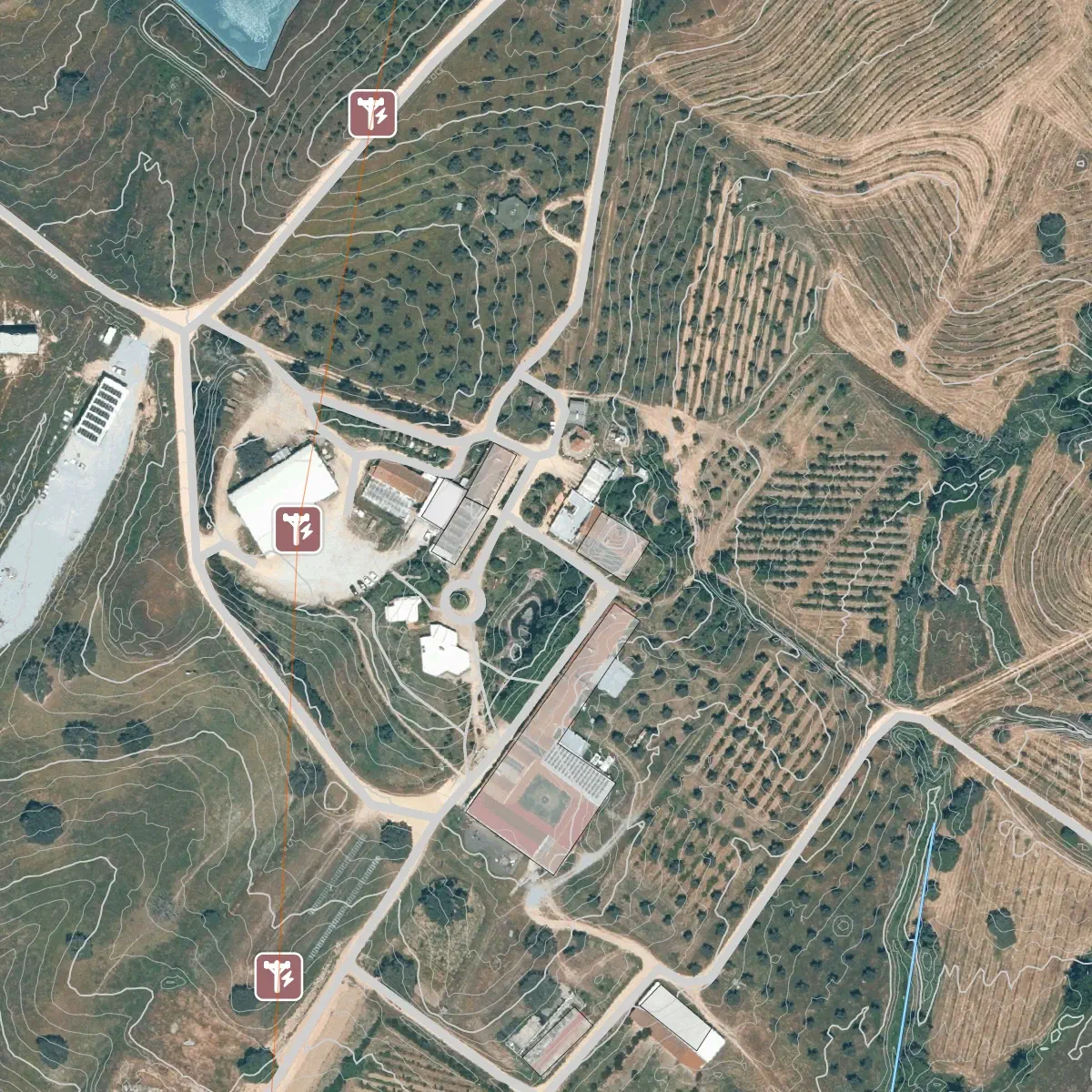
Portugal: Aerial Imagery from © DGT - Ortofotos RGB (CC BY 4.0).
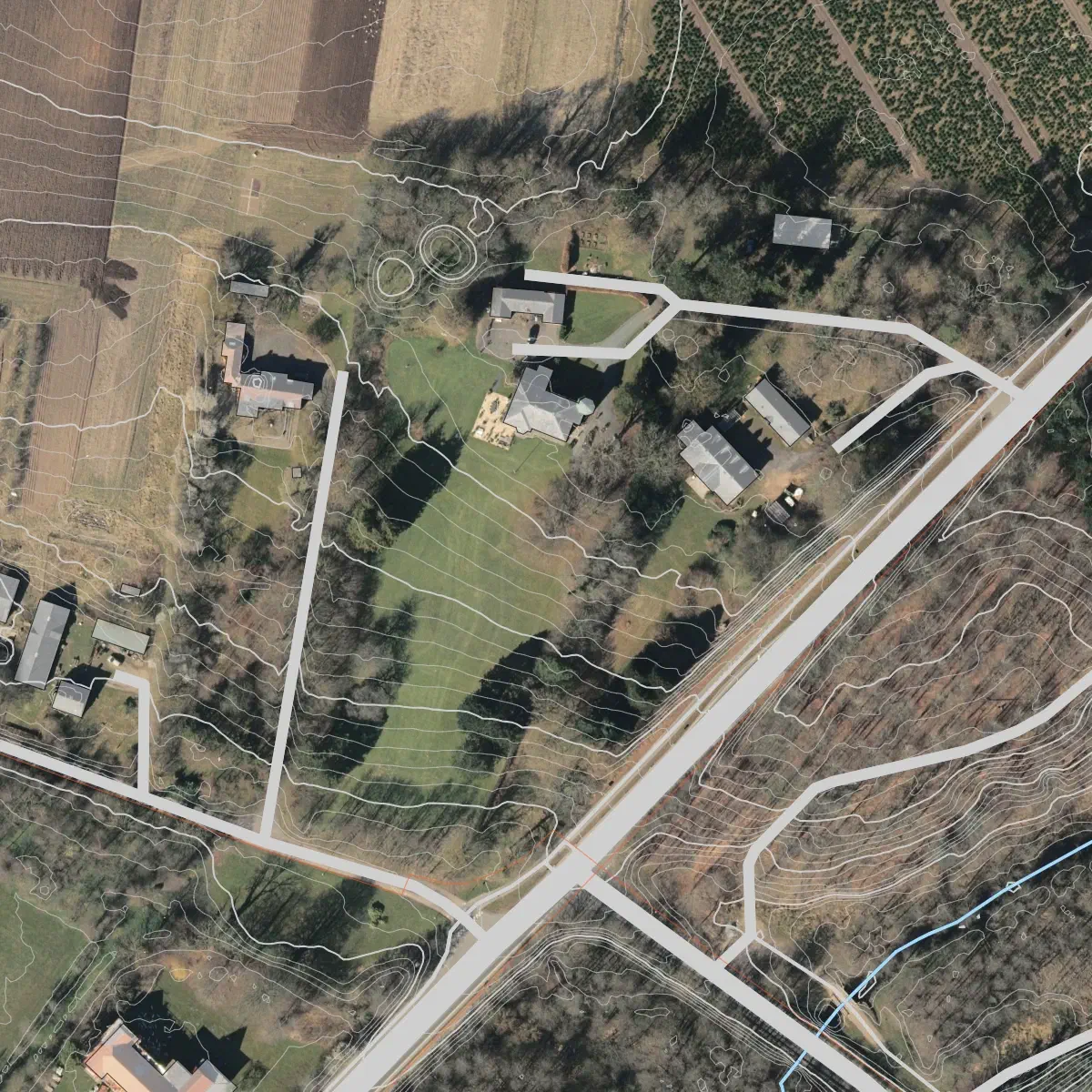
Denmark: Aerial Imagery GeoDanmark from Dataforsyningen.dk (CC BY 4.0).
All images above utilise elevation data from © Mapterhorn contributors. Water bodies, roads, and infrastructure data © OpenStreetMap contributors.