News: Advanced Contours
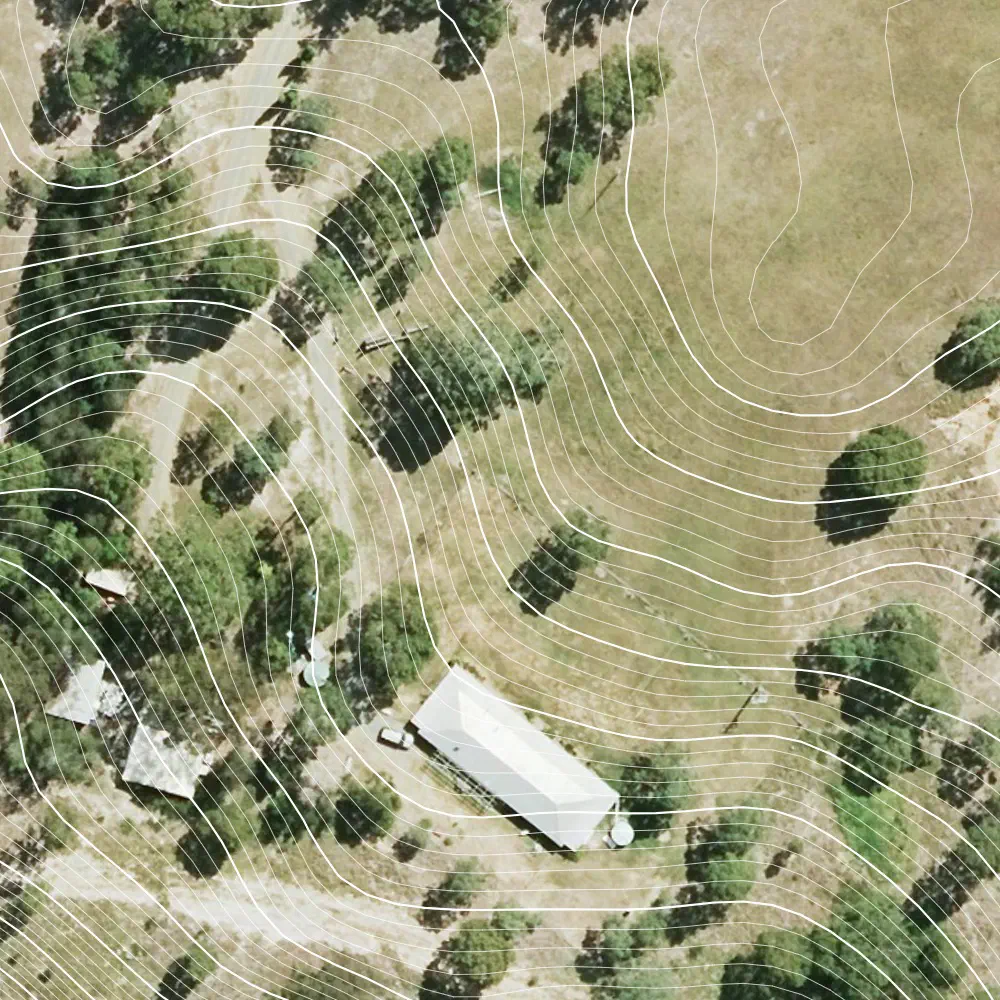
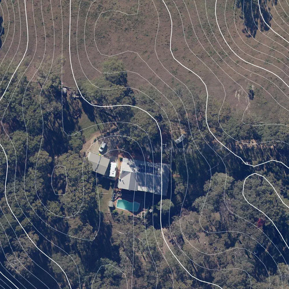
Topography is one of the foundations of great ecological design. Contour data is essential for designing water and nutrient runoff management, swale positioning, and access paths. We are now introducing Advanced Contours to the Base Map Wizard. The update expands our coverage across the entirety of Australia, New Zealand, and the USA, and gives you control over your contour intervals.
🌱 Community Plan: Request up to 2m contour intervals for areas up to 1 acre - perfect for designing residential blocks.
🥕 Starter Plan or higher: Enjoy custom contour intervals down to 0.5m, even for large properties.
⛰️ Standard Contours: Our existing standard contour data remains free for all users.
Ready to start designing? Sign in and head to the Base Map Wizard to try out Advanced Contours on your property today!
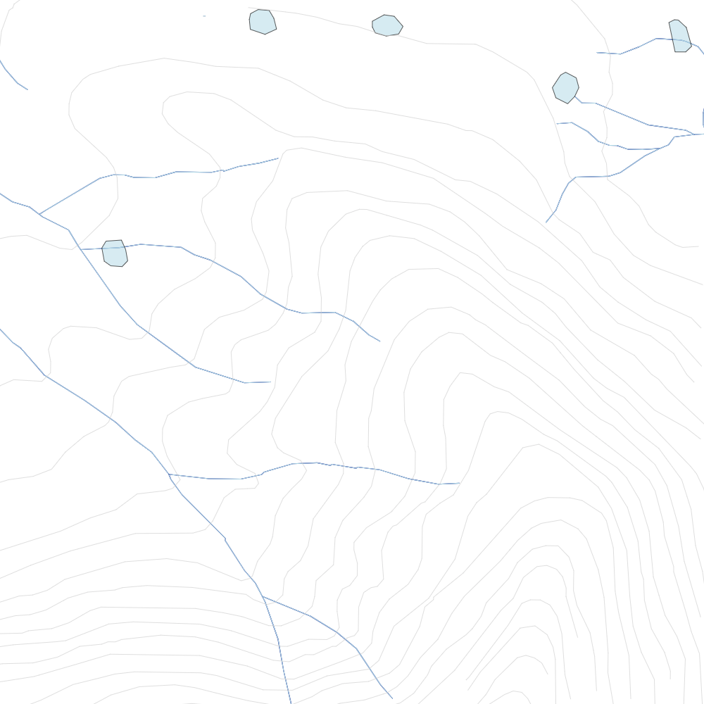
Standard Contour Data - 10m interval
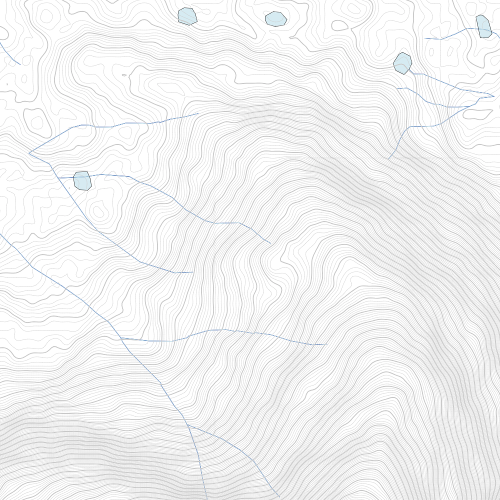
Advanced Contour Data - 1m interval
Attribution: Contour data is derived from multiple elevation models as per permiehub.com/topo. Aerial imagery from © State of New South Wales (Spatial Services, a business unit of the Department of Customer Service NSW).