Base Map Wizard Data
Learn about data coverage provided by the Base Map Wizard.
What is Base Map Wizard
Drawing a scaled base map manually can be a lot of work. To save you significant effort, Permiehub features the Base Map Wizard - a tool that imports spatial datasets directly into your project.
Here are several examples of what the Base Map Wizard can import for you:
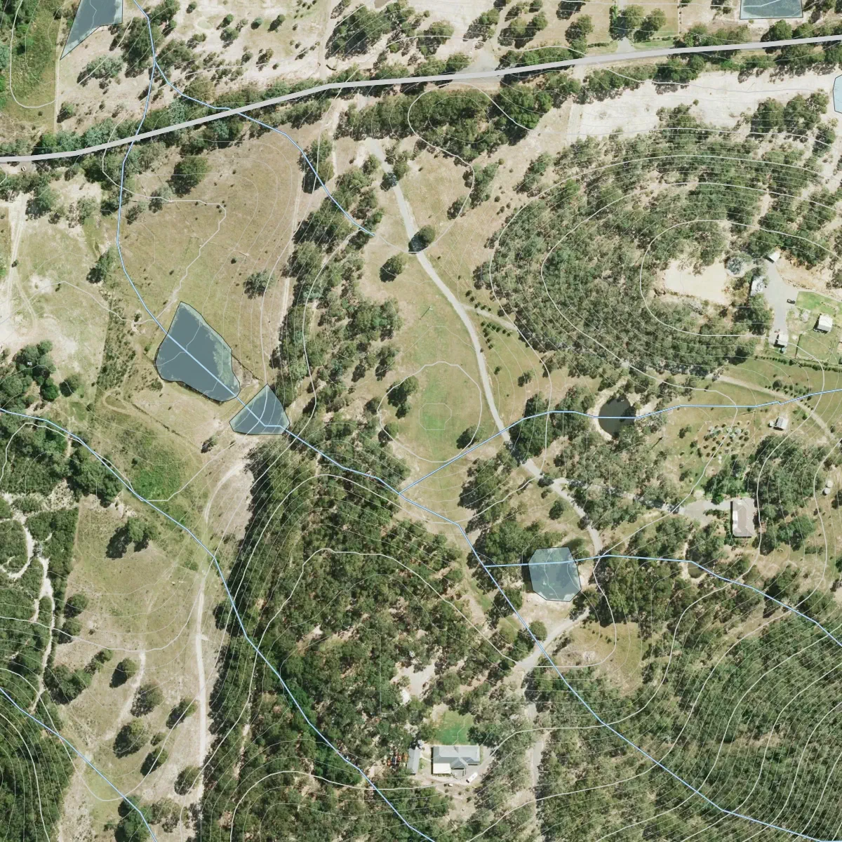
Australia, NSW
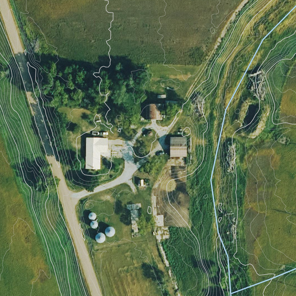
USA
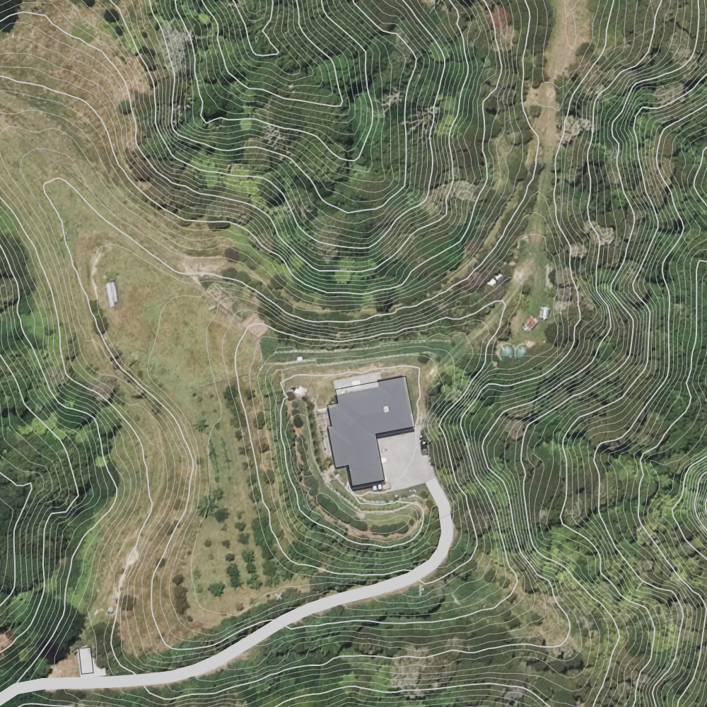
New Zealand
This page outlines the data coverage available via the Base Map Wizard. To learn how to create your base map, see our Base Map Guide.
Available Datasets
The following datasets are available in Permiehub:
| Feature | Coverage Information |
|---|---|
| Contours | Worldwide Resolution between 0.5m and 30m, depending on the location. |
| Water Bodies | Worldwide* Includes rivers, creeks, lakes, dams. |
| Aerial Imagery | See Aerial Imagery |
| Property Boundaries | See Property Boundaries |
| Building Outlines | Worldwide* |
| Roads | Worldwide* |
| Power Lines & Power Poles | Worldwide* |
| Sun Path | Worldwide |
- While Permiehub provides worldwide datasets, the coverage and accuracy depends on the specific dataset. We always recommend ground-truthing critical design elements on-site.
Aerial Imagery
| Continent | Covered Regions |
|---|---|
| North America | USA |
| Oceania | Australia (NSW, ACT, QLD), New Zealand |
| Europe | France, Spain, Portugal, Denmark, Switzerland, Czech Republic, Netherlands |
We are expanding our aerial imagery coverage to more countries over the coming months. Please let us know if you would like your region prioritised.
Property Boundaries
Property boundaries are currently available in Australia (NSW, VIC, QLD, ACT, and TAS) and New Zealand.
Base Map Wizard Examples - Australia
Australia, NSW
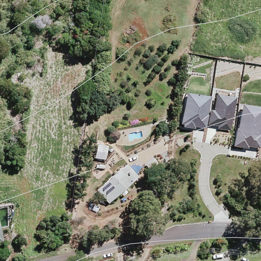
Australia, ACT
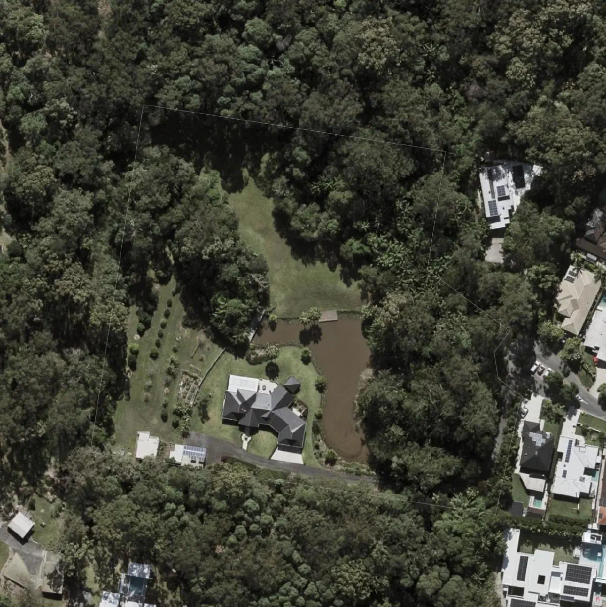
Australia, QLD
Base Map Wizard Examples - New Zealand
New Zealand - aerial imagery, contours, building outline, and roads
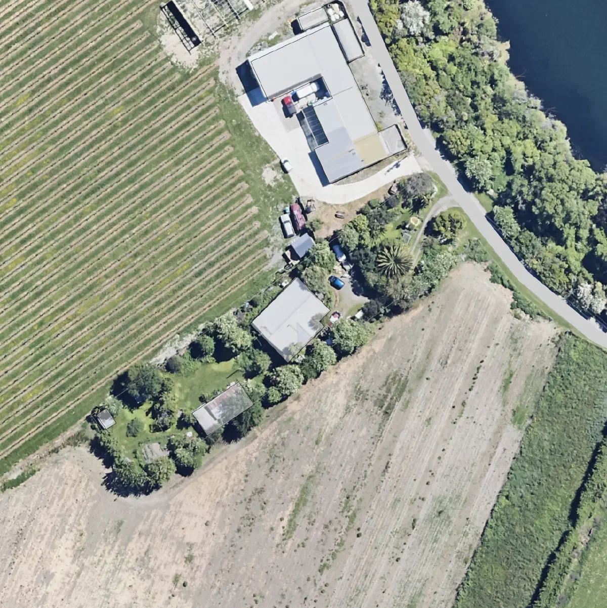
New Zealand - aerial imagery, roads, building outlines
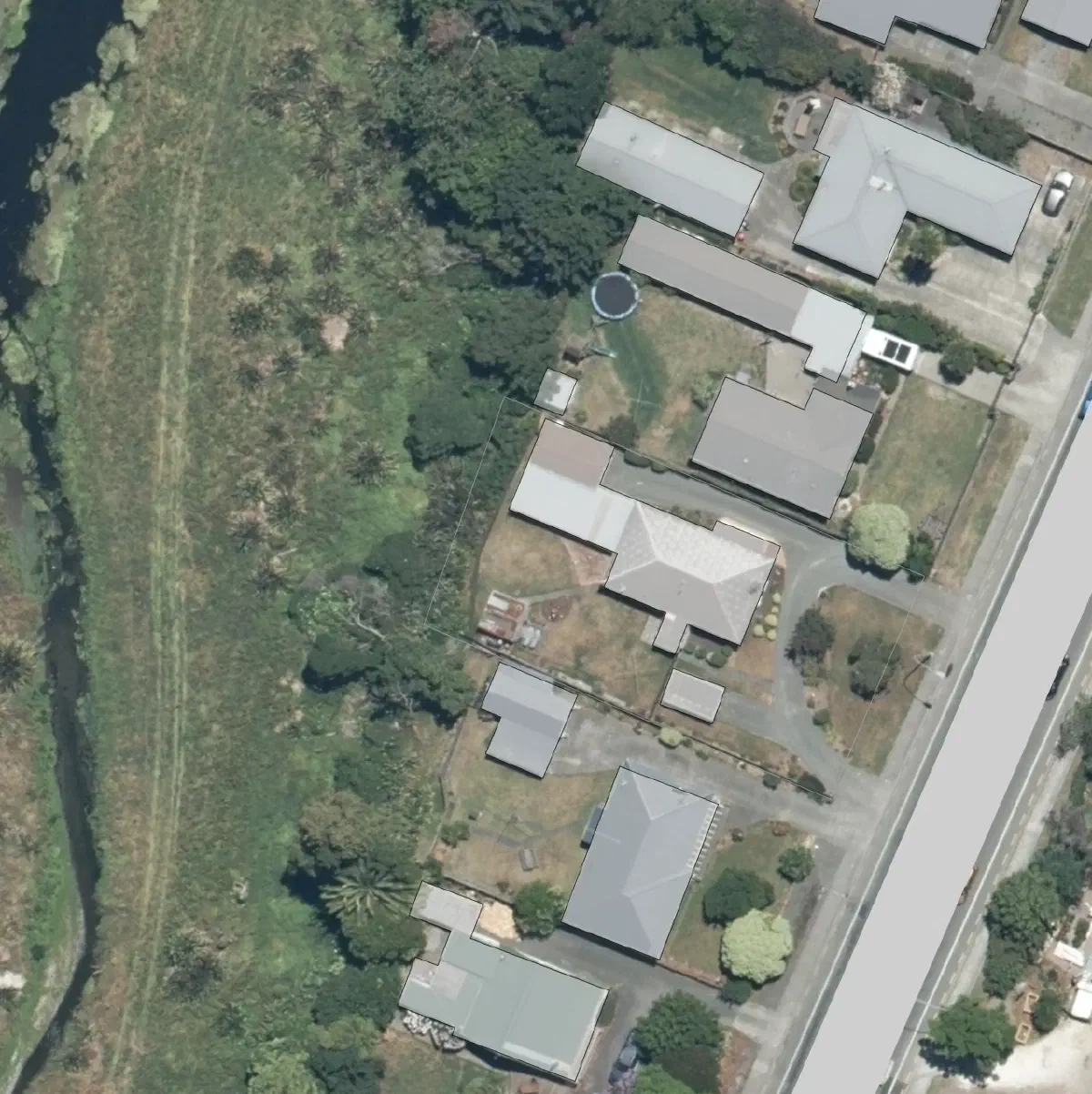
New Zealand - aerial imagery, roads, building outlines
Base Map Wizard Examples - USA
USA
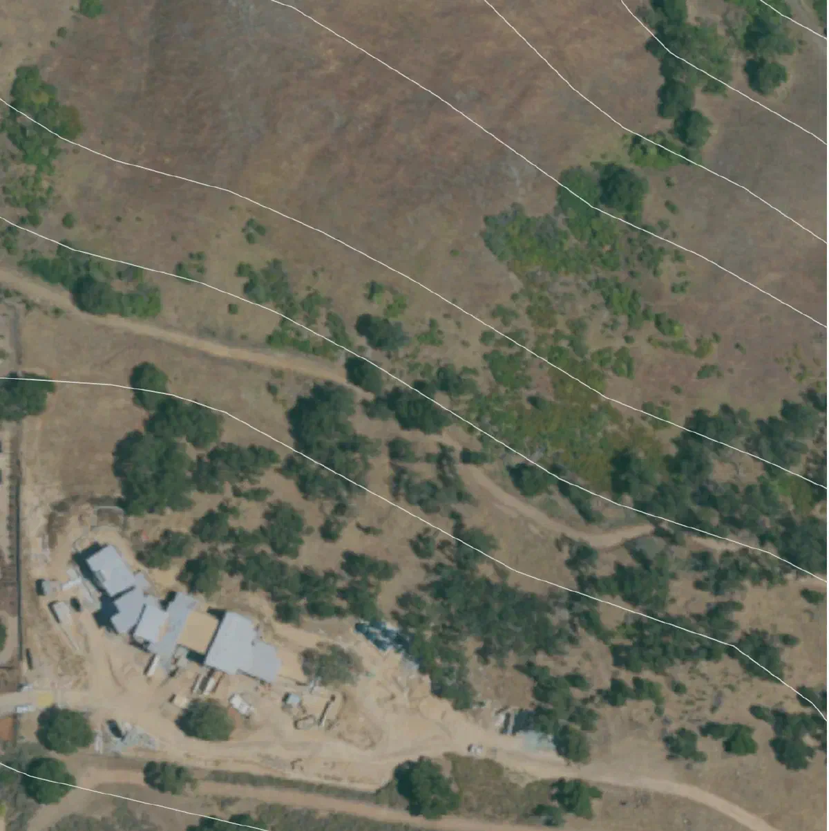
USA
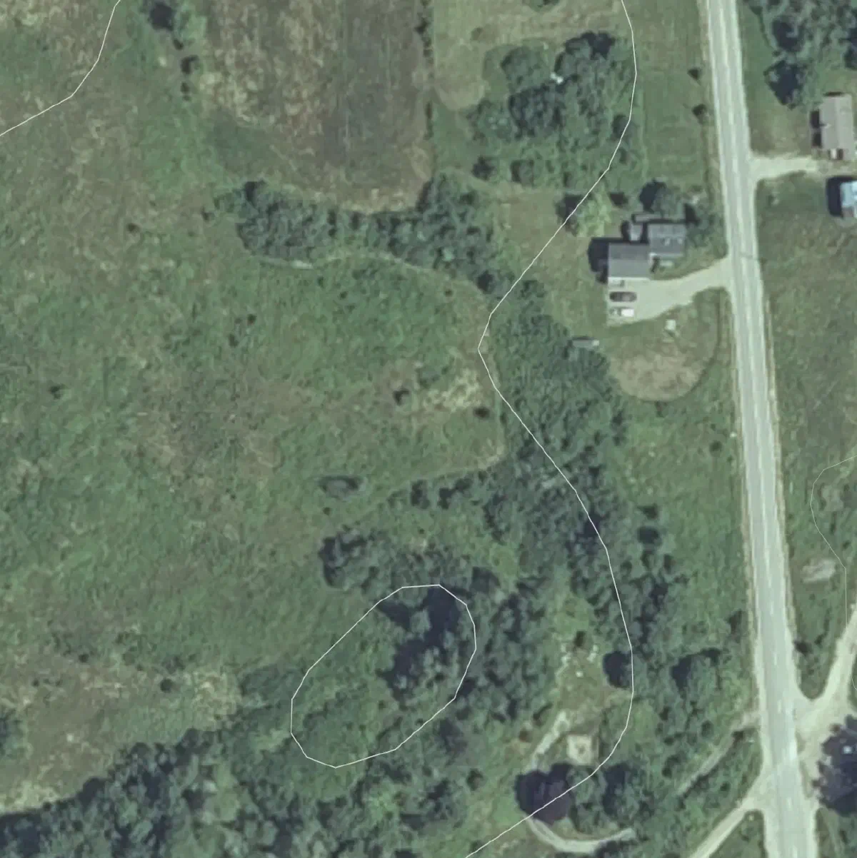
USA
Base Map Wizard Examples - Europe
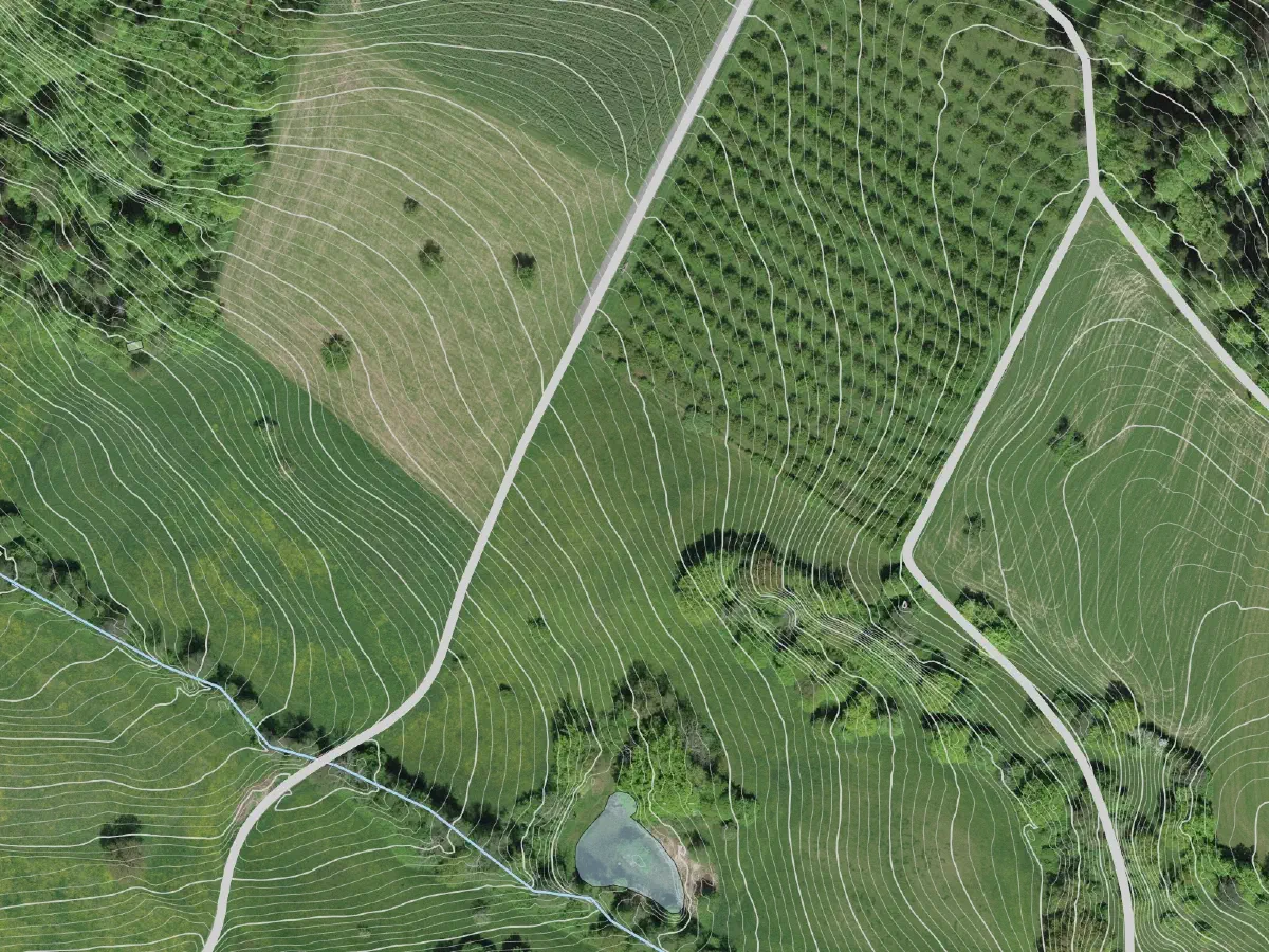
Switzerland - aerial imagery, contours, roads, waterways.
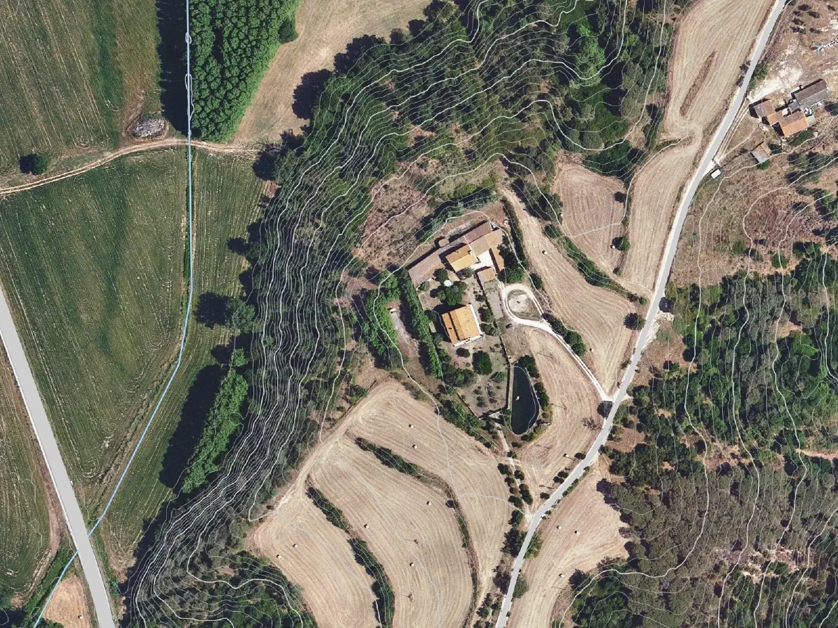
Spain - aerial imagery, contours, waterways, roads.
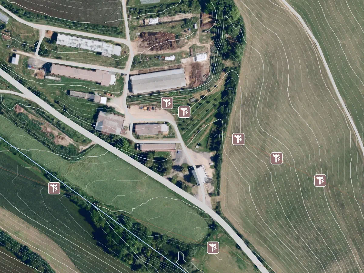
Czech Republic - aerial imagery, contours, power lines, roads.
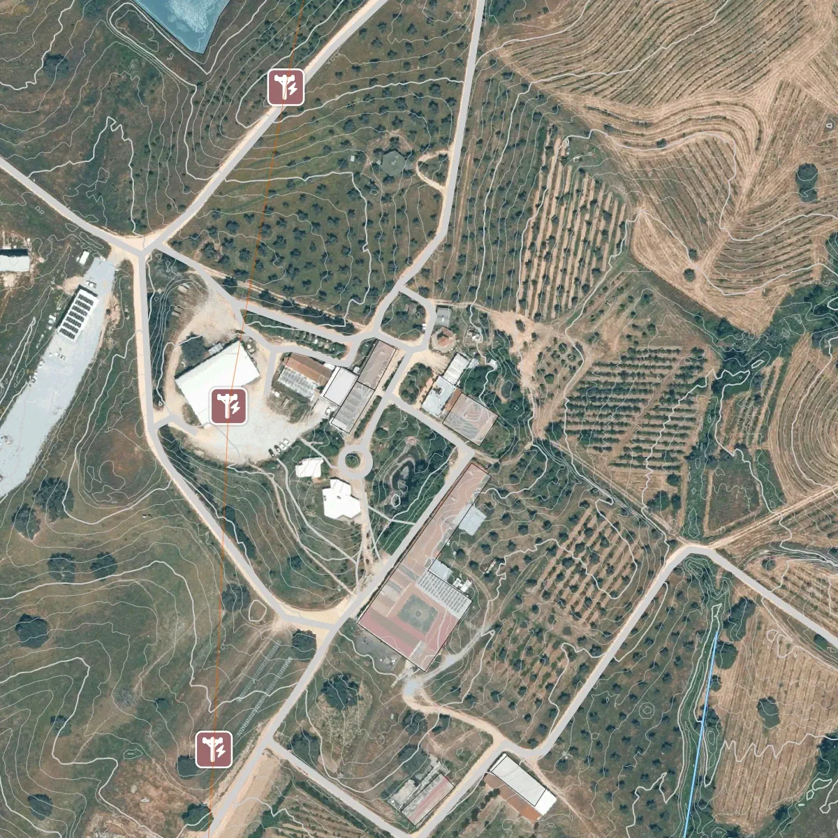
Portugal - aerial imagery, contours, roads, waterways, power lines, building outlines.
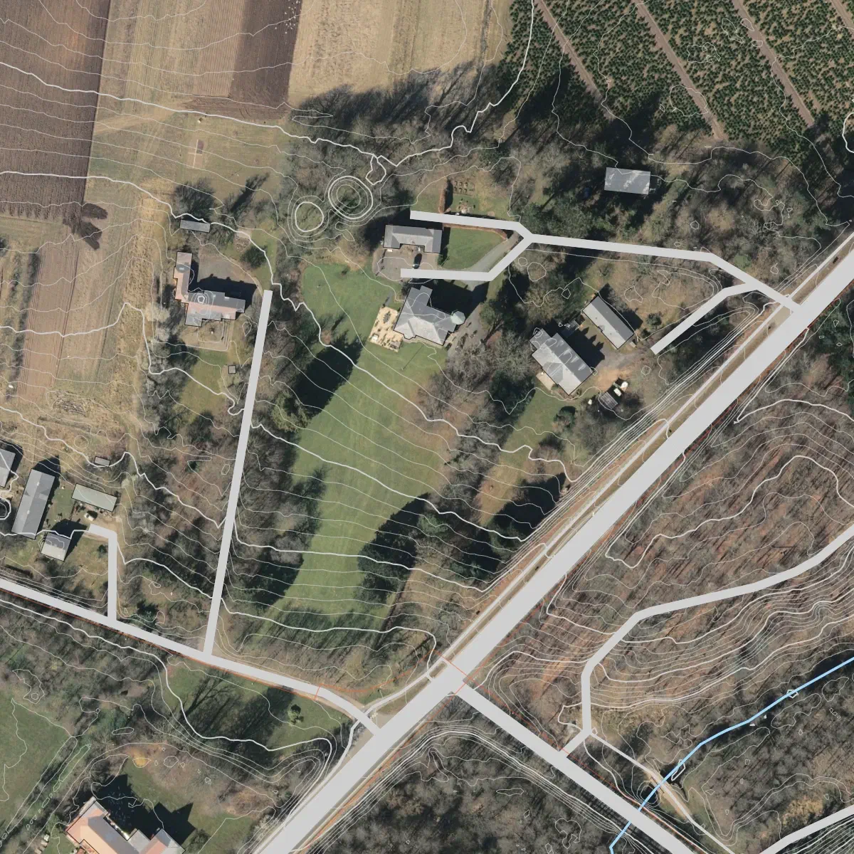
Denmark - aerial imagery, contours, waterways, roads, building outlines.
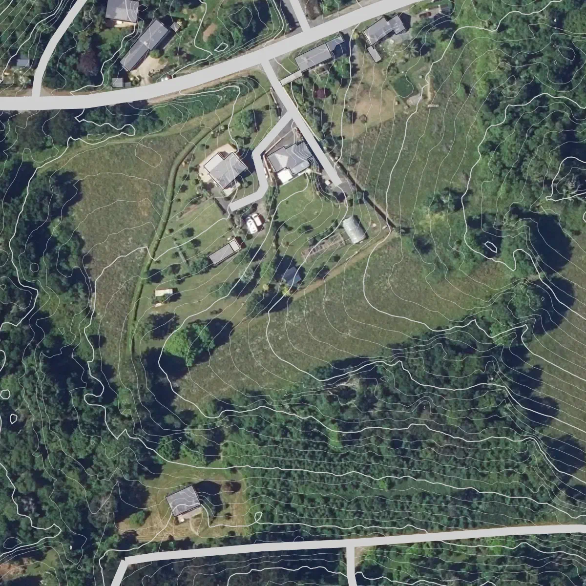
France - aerial imagery, contours, roads, building outlines.
Disclaimer
WARNING
Coverage in some areas may be incomplete, inaccurate, or outdated. This tool depends on third-party services and is provided on a best-effort basis.
Attribution
The aerial imagery, topography, and other base map data are sourced as detailed in our Data Attribution page
Where to Next
- Start designing in Permiehub and try Base Map Wizard in action for your property.
- Learn how to create your base map in our Step-by-Step Base Map Guide.
- Discover the entire Design Journey in Permiehub.