How We: Create Base Maps for Design in Minutes
Great ecological landscape design begins with mapping the property to create an accurate representation of the land, known as a base map. Crafting a scaled base map can take a lot of time, requiring data to be gathered from multiple services and combined in a graphic editor. We went through this exact process while completing our Permaculture Design Course, and we were not the only students spending a significant amount of time just preparing the map before starting the design work. We saw an opportunity to make this process much easier and quicker, not only for future permaculture students, but also for land stewards and ecological designers. Read on to see how we create base maps in minutes using Permiehub, and how you can too.
Estimated reading time: 4 minutes
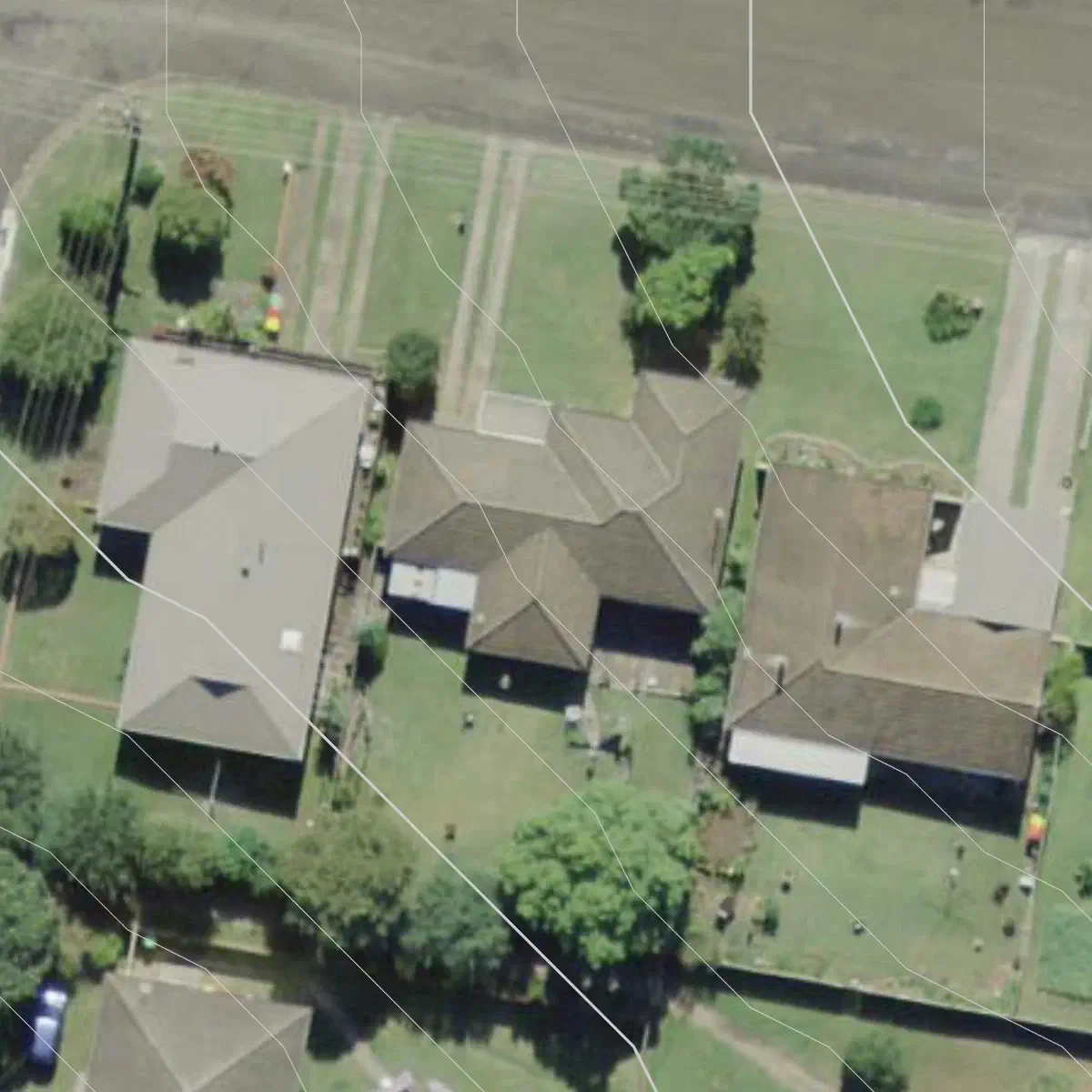
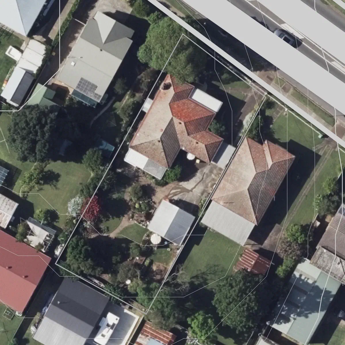
Aerial Imagery serves as an excellent starting point.
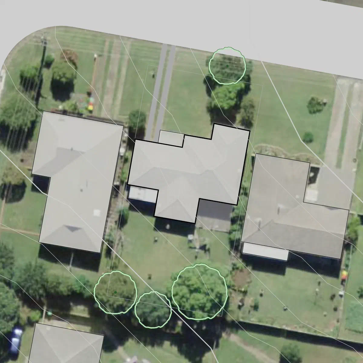
Structures traced and trees marked over the imagery.
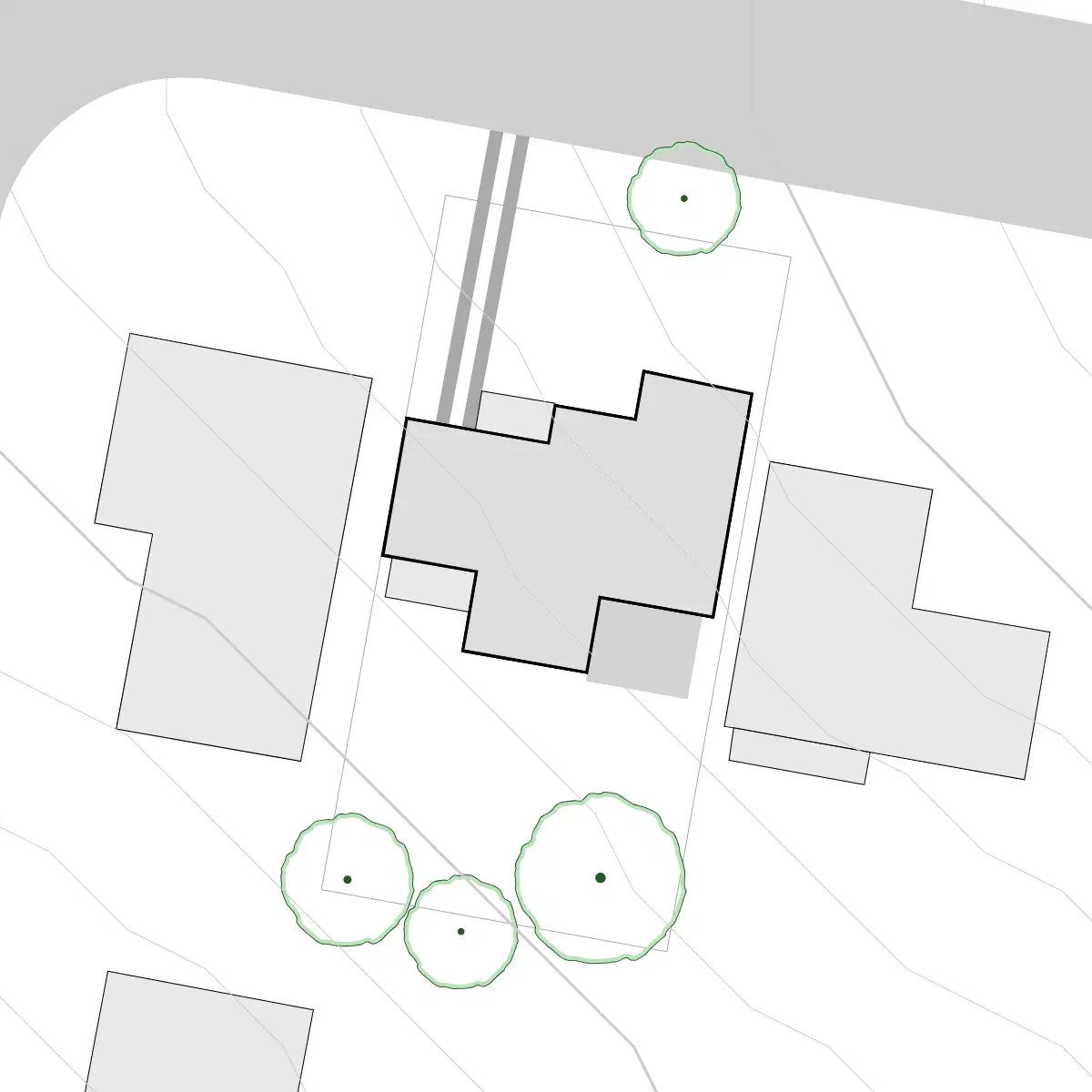
Hiding the reference image reveals a clean Base Map for our design.
Mapping Your Property: Anatomy of Accurate Base Maps
Whether designing for a permaculture garden, regenerative farm, or syntropic agroforestry system, a comprehensive base map brings key land features together into a single reference. Every site and project is unique, so while not every property requires every detail, a complete base map often includes:
- Contour Lines
- Water Bodies: Creeks, rivers, ponds, and dams.
- Property Boundaries: Provides total clarity on where your property lines sit.
- Structures: Dwellings, sheds, and barns.
- Access: Existing roads, tracks, or paths.
- Major Vegetation: Trees, hedges, and windbreaks.
- Infrastructure: Existing underground pipes, overhead power lines, and fencing.
Additionally, for printed maps, it is important to include north arrow and a scale to clearly communicate orientation and size.
Benefits of Creating Base Maps with Permiehub
In the past, we had to navigate multiple websites to gather data, manually calculate map scales, and align images in generic drawing software. We wanted to simplify this repetitive process. Now, we do all of this directly in Permiehub, working faster and with greater precision, which leaves us more time to focus on the design process itself.
Step-by-Step: Base Map in Permiehub
Locating & Framing Area to Import
We start by searching for the property address and framing the project area. Permiehub’s Base Map Wizard automatically imports available site features, including water bodies, building outlines, and topographic contours down to 0.5 metre intervals. In supported regions, it also retrieves high-resolution aerial imagery and property boundaries.
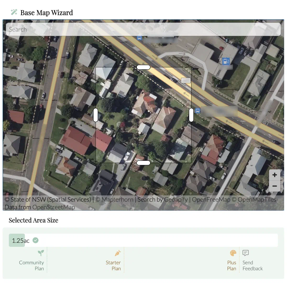
First, we frame the area we are designing.
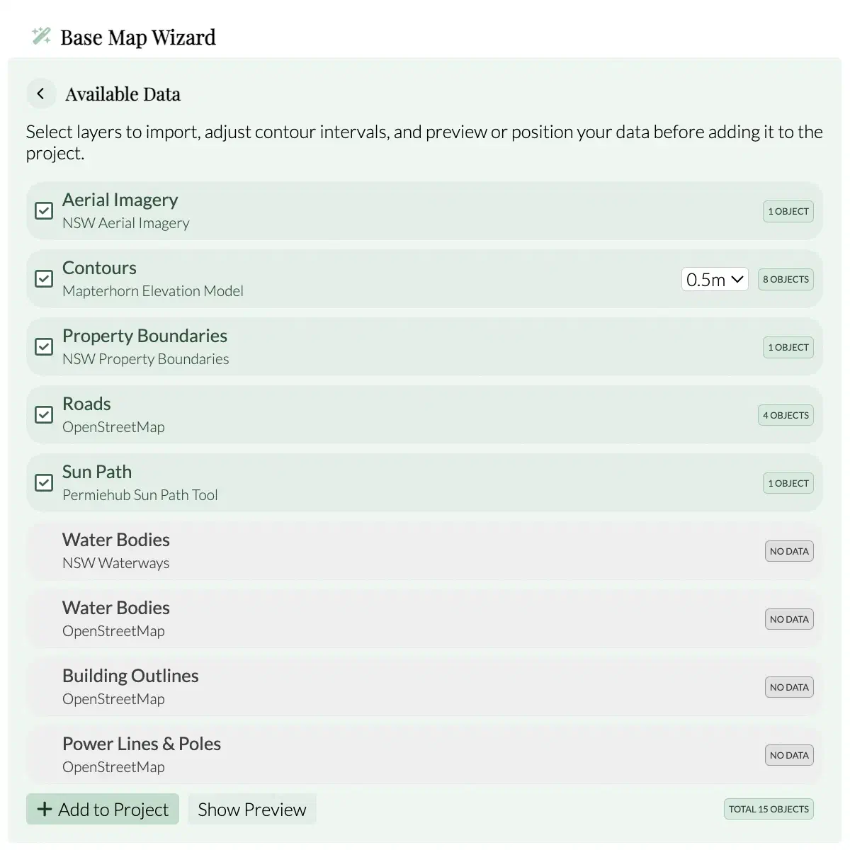
Next, we check available data in that area. We can also adjust the contour density.
Lastly, we confirm the selection which adds data into the project - and most of the hard work is done!
Helpful Guides
Learn how to use Base Map Wizard and check Base Map Wizard’s Data Coverage.
Uploading Additional Aerial Imagery
To complement the automated datasets brought into our drawing, we can upload extra satellite, aerial, or drone imagery. Drone imagery is particularly useful when planning major projects or monitoring site progress over time. More recent images make it easy to map new structures and plantings, while photos taken throughout different seasons help us spot shifting landscape patterns, like wet or dry patches across the property.
Imagery automatically imported by Base Map Wizard is a great starting point.
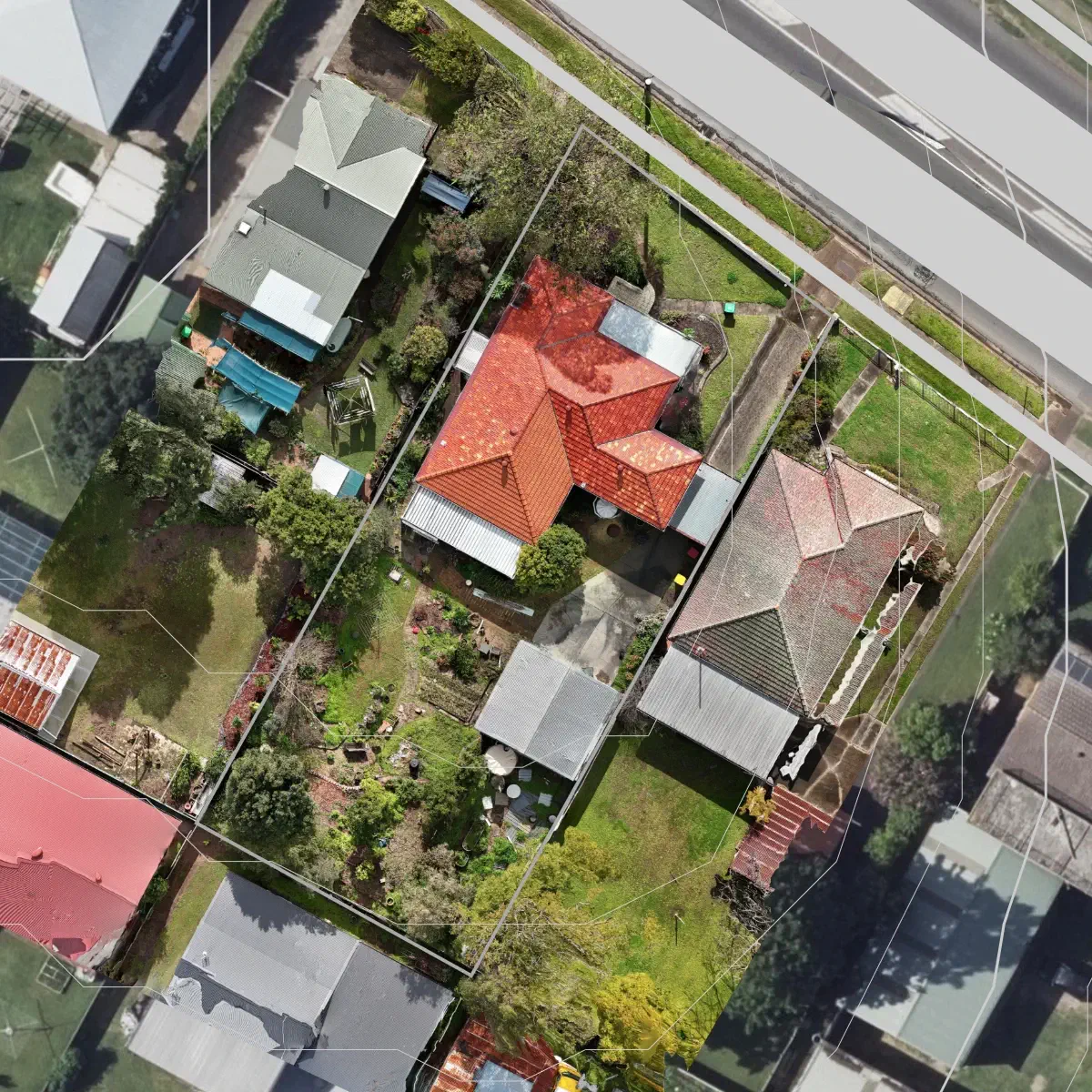
Overlaying additional imagery can help us to map the existing features.
Helpful Guides
Learn how to add reference images to your base map, or explore our guide on mapping your property with a consumer drone.
Mapping Relevant Permanent Features
Next, we trace any existing elements that were not automatically imported in the first step. This typically includes existing structures, roads, pathways, and mature trees.
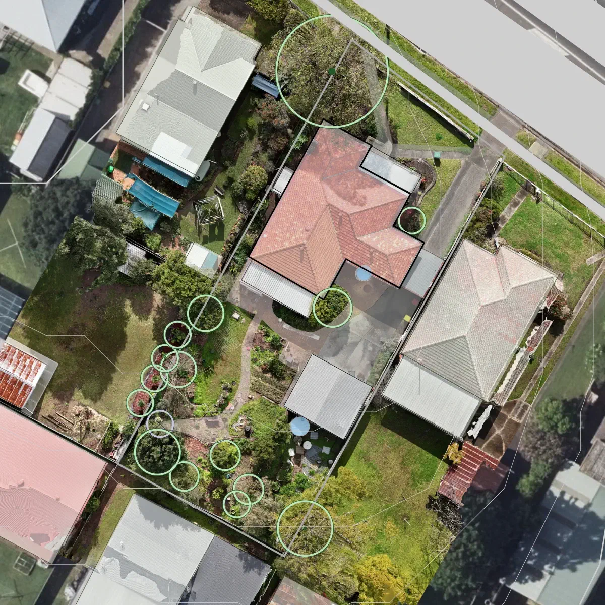
With aerial or drone imagery in place, we can trace existing features such as structures, paved areas, mark out existing water tanks and trees.
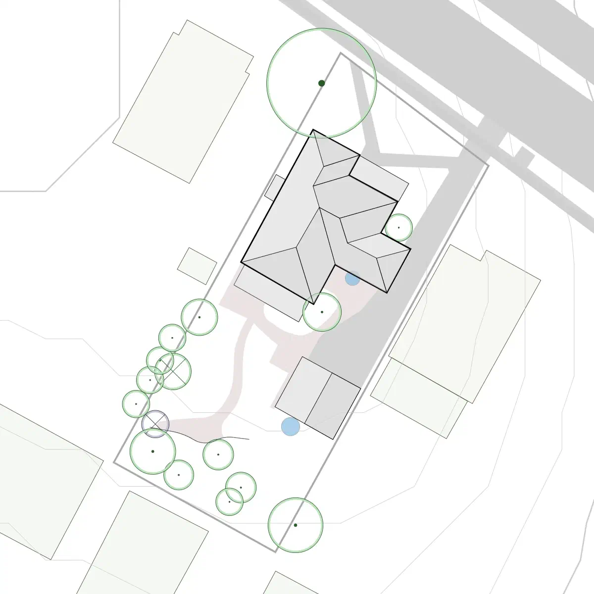
When we hide the imagery, we see a clear representation of the property.
Helpful Guides
For more details, see our guide on how to trace objects and place trees.
Printing for On-Site Sketching
Once our base map is ready, having a printed copy makes on-site work much easier. Certain site analysis steps, like observing wind direction or wet patches, are best done right on the land. Printing out a physical map gives us a convenient way to record our site observations by hand. We can frame the area of interest and export the scaled base map as a PDF, ready to take outside for site walks, field observations, and hand-sketching initial ideas.
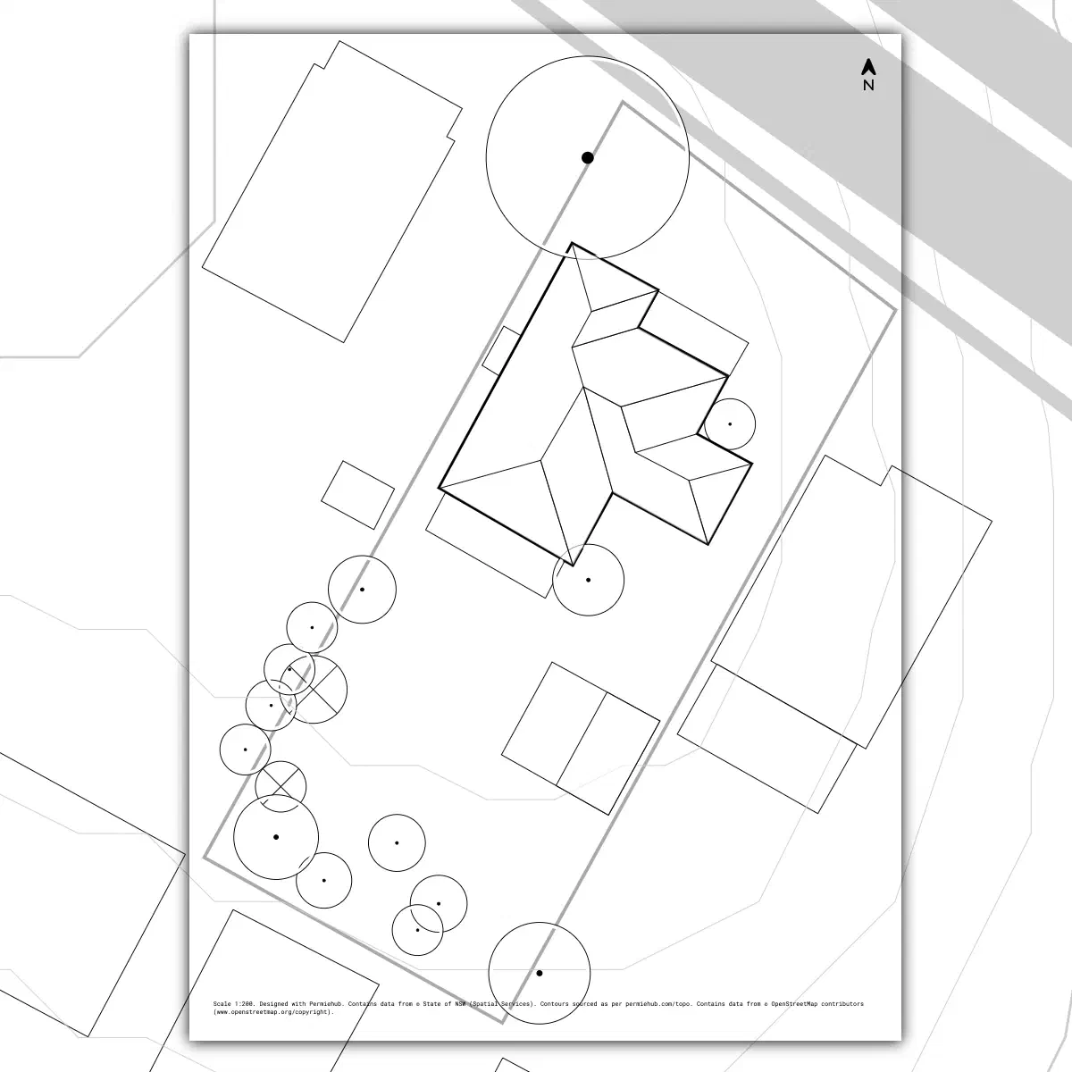
Print preview allows us to frame the area we want to export.
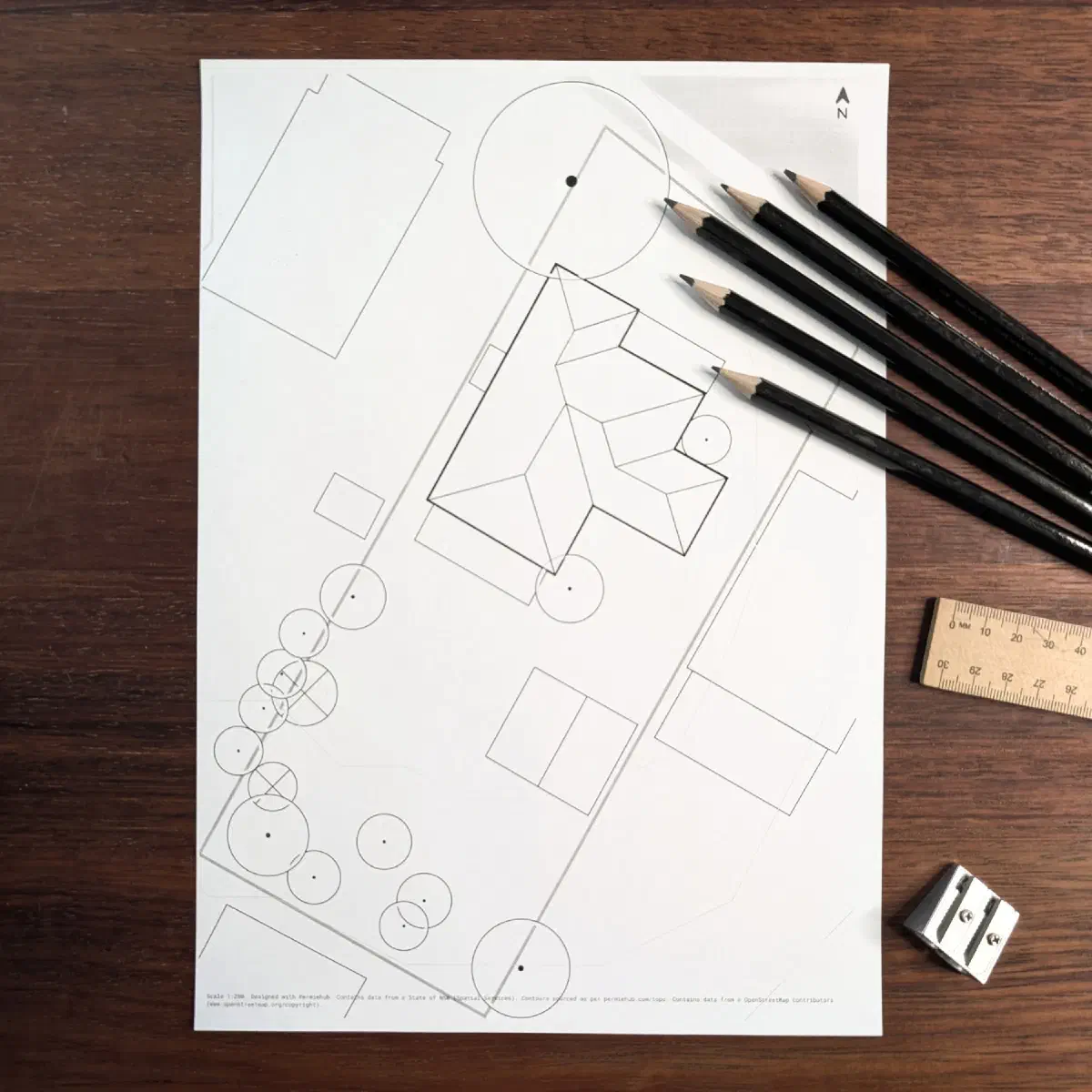
A printed base map, ready for on-site notes and sketching our design ideas.
Helpful Guides
For more details, see our guide on Printing Your Project. You can also take your Permiehub project into the field on a phone or tablet. Using a tablet with a stylus is a fantastic way to capture observations and sketch initial zone ideas on site.
Functional Design Foundations
An accurate base map provides an essential foundation, ensuring every subsequent design phase is anchored to real-world dimensions so elements fit where they should. Automating the technical setup saves valuable time, allowing us to focus on what matters most, which is turning ideas into an actionable plan and spending more time outdoors making it happen.
Ready to start mapping your site?
Start Trial TodayOther Helpful Guides
Take the next step in your design journey with our practical guides:
- Dive deeper into Base Map.
- Continue with Site Analysis.
- Draft your zones in Concept Design.
- Learn how to draw food forests using Planting Rows.