News: New Base Map Wizard: Interactive Map Selection, Worldwide Data
Setting up a precise base map is the foundation of any good design, but gathering contours, roads, and water lines by hand can take hours. Today, we are excited to roll out the new generation of Permiehub's Base Map Wizard.
What started as a tool to help designers and land stewards in Australia is now global - bringing landscape data right to your canvas, no matter where you are in the world.
World-wide Coverage & Smarter Data Imports
The Base Map Wizard now automatically pulls in a wide array of site features:
- Customisable contours powered by global elevation data.
- Water bodies, creeks, roads, and building outlines.
- Infrastructure - powerlines and power poles.
Leveraging this data is an excellent starting point and is more than sufficient for most projects. However, it does not replace a professional survey, and we always recommend verifying critical features on the ground. Keep in mind that data quality and availability depend on your location; for instance, building outlines might be missing in certain areas, and contour resolution varies across regions.
Full Control Over Your Imports
Simply search for your address or town, zoom in, and get a preview of the available data. From there, you have complete control: customise details like your contour density, or deselect the layers you do not need to keep your project clean and simple.
Expanded High-Resolution Aerial Imagery
Alongside global data layers, we are continually expanding high-resolution aerial imagery. In addition to our existing coverage across the USA, New Zealand, and select states in Australia, we have added high-res aerial maps for:
- Spain
- Switzerland
- Czech Republic
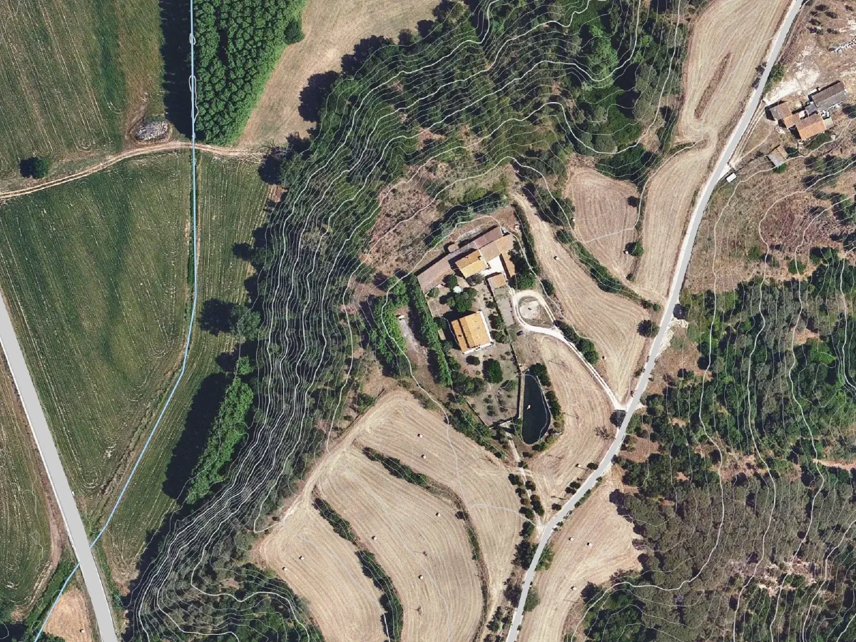
Spain: Imagery from © PNOA scne.es (CC BY 4.0). Creeks and roads from © OpenStreetMap contributors.
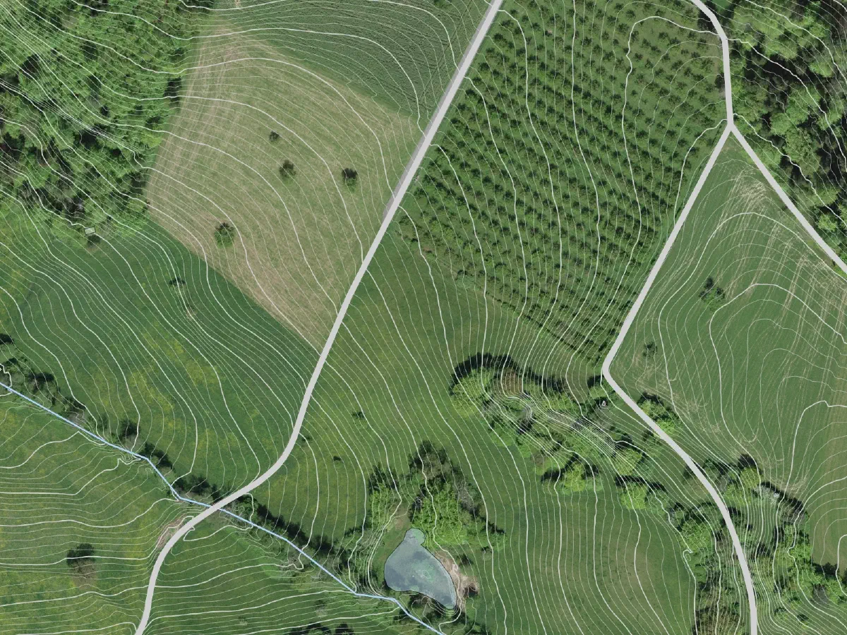
Switzerland: Imagery from ©swisstopo. Water bodies and roads from © OpenStreetMap contributors.
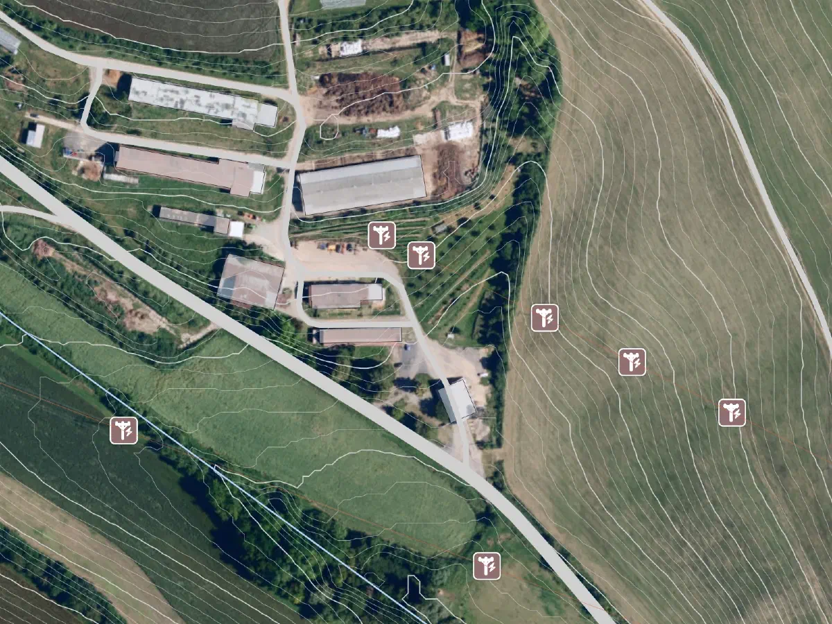
Czech Republic: Imagery from CÚZK (CC BY 4.0). Creeks, roads, power lines and power pole locations from © OpenStreetMap contributors.
All images above utilise elevation data from © Mapterhorn contributors. Water bodies, roads, and infrastructure data © OpenStreetMap contributors.
TIP
Are you waiting for Base Map Wizard support in another region or country? Let us know, as we want to add the areas the Permiehub community needs.
Sized for Every Project: From Homesteads to Large Acreages
Our new Base Map Wizard supports projects of every scale - from small suburban backyards right up to large acreages:
- Community Plan: Perfect for designing your home garden or homestead. You can import up to 3 acres, including our finest 0.5m (or 1ft) contour density, entirely for free.
- Starter Plan (including Free Trial): Supports larger projects up to 80 hectares (approx 200 acres) in a single import.
- Plus Plan: Built for extensive properties, supporting up to 200 hectares (approx 500 acres) at a time.
TIP
If you need to map out an even larger area, get in touch with us. We would love to learn more about your project and see how we can support your use case.
The new Base Map Wizard is officially live. Log in to your Permiehub account, search for your location, and take a look at the data available for your project.